Day 01: Drive Kathmandu to Machha Khola (8,69m) – 9 to 10 hours.
On the first day of the trip, you will drive to Machha Khola after breakfast in Kathmandu. You can reach Machha Khola by public bus or private vehicle. The distance from Kathmandu to Machha Khola is about 162 km. After a 9-10 hour drive through Arughat and Sotikhola, you will reach Macha Khola.
The drive offers beautiful views of green hills, terraced fields, and dense forests. The road from Kathmandu to Arughat has been well maintained, but the road from Arughat to Machakhola has deteriorated. The road is rough, especially during the rainy season, with potential challenges like muddy and slippery roads.
Day 02: Machha Khola to Jagat (1,410m) – 7 to 8 hours walk.
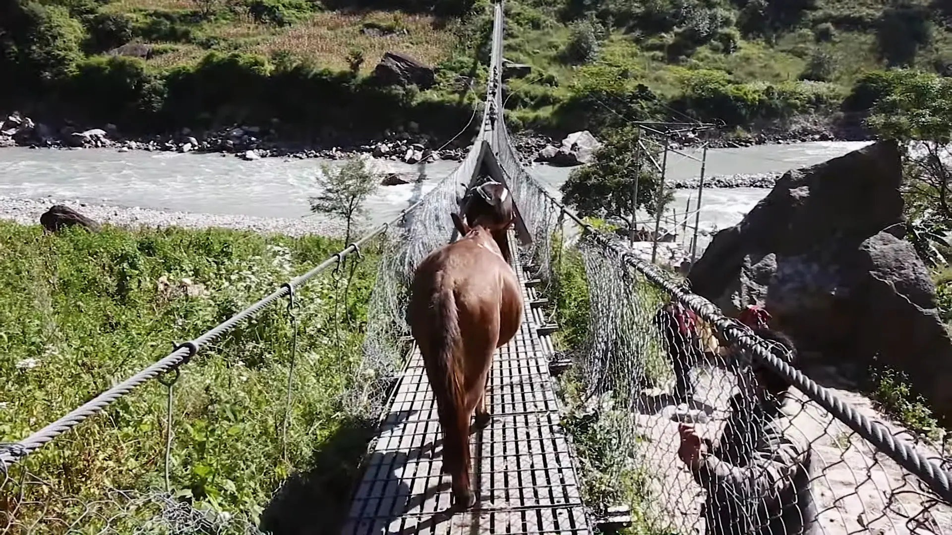
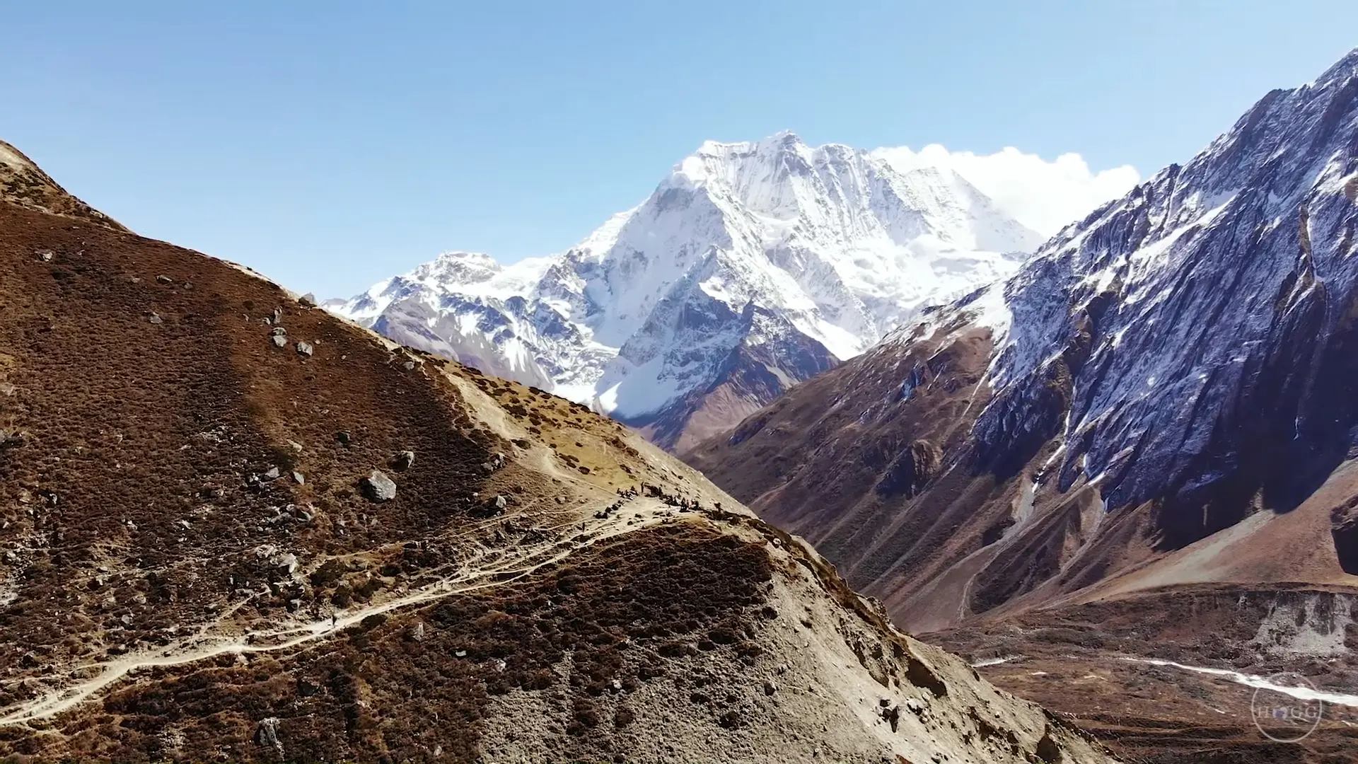
On the second day, the trail begins with a path along the Budi Gandaki River. You will cross many suspension bridges and pass through small settlements during the journey. The route is relatively straight, with gentle climbs and descents. After reaching Khorlabesi, you will reach Tatopani, known for its natural hot springs. This section is challenging, with narrow and rocky paths.
From Tatopani, the trail goes through forested areas to Dobhan, which can be muddy and slippery, especially during the rainy season. The route from Dobhan to Jagat involves some steep climbs. While trekking, this route offers beautiful views of the Budhigandaki River, lush green forests, and terraced areas.
Day 03: Jagat to Deng (1,804m) – 6 to 7 hours walk.
On this day, after breakfast, you will start walking to Deng. The trek begins with a descent to the river and then climbs up to Salleri village. From there, the trail continues to Sirdibas, offering beautiful views of the surroundings. After Sirdibas, the trail takes you to Philim, a large Gurung village.
The trail ahead from Philim is narrower and more steep. It passes through forested areas and crosses many small streams until you reach Ekle Bhatti village. After a short walk through the forest and several small settlements, you will reach Deng. It is a small village with beautiful mountain and river views and a few lodges and teahouses.
Day 04: Deng to Namrung (2,630m) – 6 to 7 hours walk.
On the fourth day of the journey, the trek begins with a gradual ascent from Deng. The trail crosses the Budhigandaki River several times through suspension bridges and reaches Bihi Phedi village. After leaving Bihi Fedi, the trail climbs up, and this section is filled with dense pine and oak forests. You will pass through many small villages, and these villages offer glimpses of Tibetan influence.
After a few hours of walking, you will reach Namrung via Dhap village. Situated at a high altitude, Namrung is a large village known for its natural beauty, traditional houses, and views of Ganesh Himal and Shringi Himal. Several lodges and teahouses make it a comfortable place to relax after a long day of trekking.
Day 05: Namrung to Samagaon (3,520m) - 5 to 6 hours walk.
On this day, you will trek through some of the Manaslu region’s scenic and culturally rich areas. It usually takes 5-6 hours to reach Samagaon, and the trail covers a variety of landscapes, including forests, villages, and stunning mountain views.
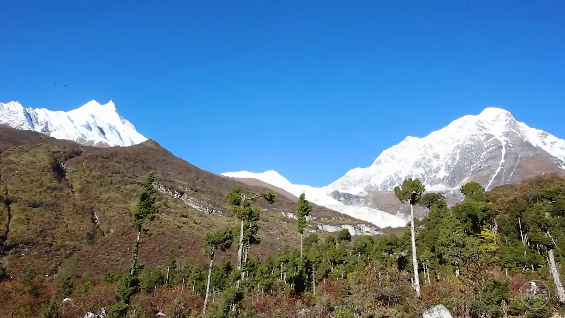
During the journey, you will reach Lho village, which offers spectacular views of Manaslu and other surrounding peaks. There is a large Ribung Gompa monastery in Lho, known for its cultural significance and the beautiful scenery it offers.
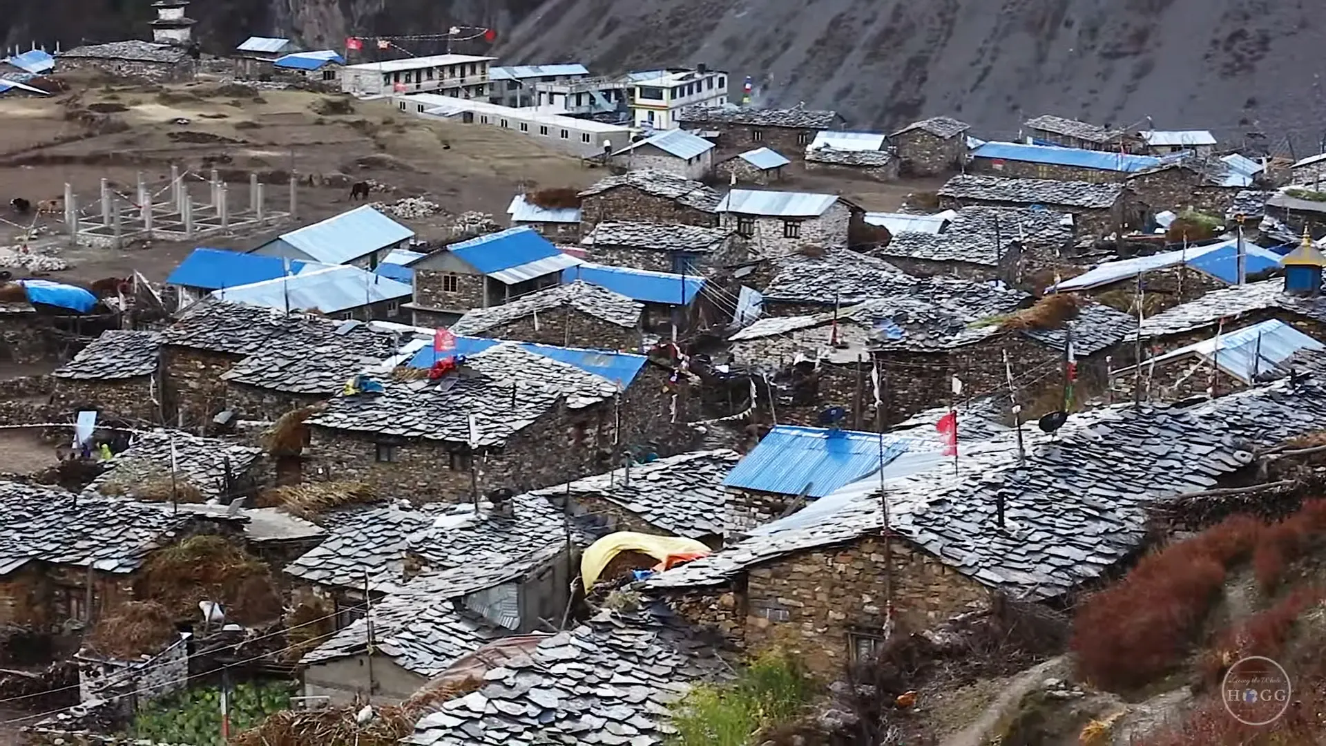
From there, you will reach Samgaon at the foothills of Manaslu via Shyala village. Samgaon is known for its ancient monasteries, Pungyen Gompa, and the nearby serene Birendra Lake. The village is also an important cultural center with traditional Tibetan-style houses and local culture.
Day 06: Rest day
Due to the increased altitude, acclimatization at Samgaon is an integral part of the Manaslu circuit trek. So, on this day, you will stay at Samagaon for acclimatization. Spending an extra day at Samagaon helps your body adjust to lower oxygen levels and reduces the risk of altitude sickness.
In Samagaon, you can do some activities to help with acclimatization. You can hike to Pungyen Gompa, a beautiful ancient monastery located on a hill overlooking the glaciers of Manaslu. This popular hike takes around 6-7 hours round trip.
You can also visit Birendra Lake, which is 1-2 hours away by a short walk from Samgaon. It offers a peaceful atmosphere with panoramic views of the surrounding mountains. You can also spend time walking around Samagaon. Visiting local monasteries and interacting with villagers provide cultural insight.
Day 07: Samagaon to Samdo (3,875m) - 3 to 4 hours.
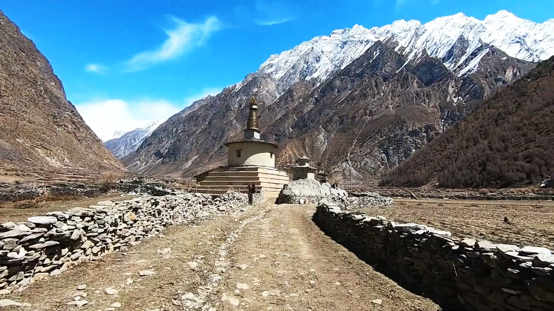
The initial route from Samgaon is relatively flat, making for a comfortable start to the day. Leaving the village, you will pass through fields and pastures where you will see yaks grazing. The area is also dotted with small stupas and gem walls, reflecting Tibetan Buddhist culture.
The landscape in this area is more barren and rocky, reflecting the high altitude and proximity to the Tibetan Plateau. This day hike is relatively short; you will reach Samdo in 3 to 4 hours. From Samdo, you can enjoy panoramic views of Manaslu and many other peaks.
Day 08: Samdo to Dharmsala (4,460m) – 4 to 5 hours walk.
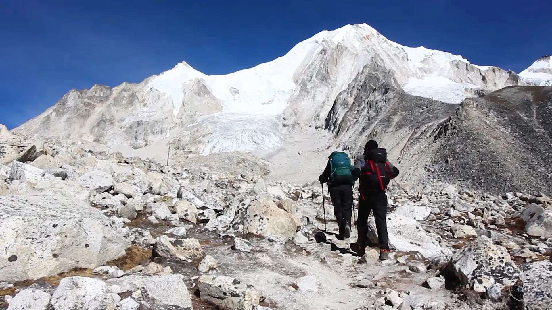
The trek from Samdo to Dharamsala is an integral part of the trek, as it sets you up for the challenging crossing of Larkya La Pass. Dharamshala is also known as Larkya Phedi. This section usually takes 4-5 hours and involves a moderate to steep climb.
The trail is rocky and challenging due to its elevation and rough terrain. Dharamshala is a basic settlement with a few lodges and teahouses that cater to trekkers. It serves as a base camp for the climb of Larkya La Pass.
Day 09: Dharamsala to Bhimthang (3,590m) via Larkya-La pass (5,160) – 8 to 9 hours walk.
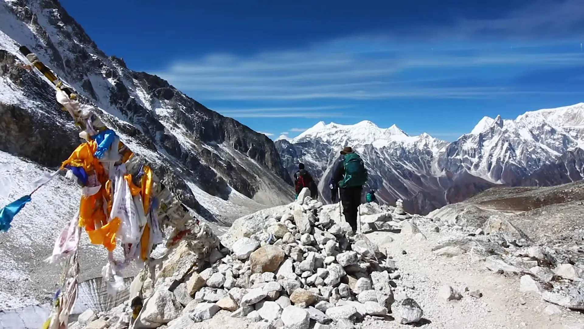
The ninth day of trekking is the most challenging day of the Manaslu circuit trek for you. On this day, you will cross Larkya La Pass (5160m), the trek’s highest point. This part of the trip involves a long, strenuous day with significant elevation gain.
It usually takes 8-10 hours to cross the Larkya La Pass, depending on your speed and weather conditions. It can be physically demanding due to the altitude and rough terrain. From the highest point, you can get a panoramic view of the Himlung, Cheo, Kang Kuru, and Annapurna II peaks.
Day 10: Bhimthang to Tilije (2,300m) – 6 to 7 hours walk.
After breakfast, you will start walking to Tilje. The distance from Bhimthang to Tilije is 18 km and takes 6 to 7 hours. The trail begins with a gentle descent through a dense pine forest and rhododendron bushes.
Continue to descend along the river with beautiful views of the surrounding peaks. Passing through lush forests and crossing several small streams, you reach the village of Kharche, where you can take a break. Crossing the terraced fields, you will get to Tilje village, which has its traditional houses.
Day 11: Tilije to Dharapani (1,963m) - 3 to 4 hours walk and drive to Besishahar - 3 hours.
The trail from Tilje to Dharapani connects a mix of lush green forests, traditional villages, and picturesque landscapes. The distance from Tilje to Dharapani is about 6 km, and you can cover it in 3 to 4 hours.
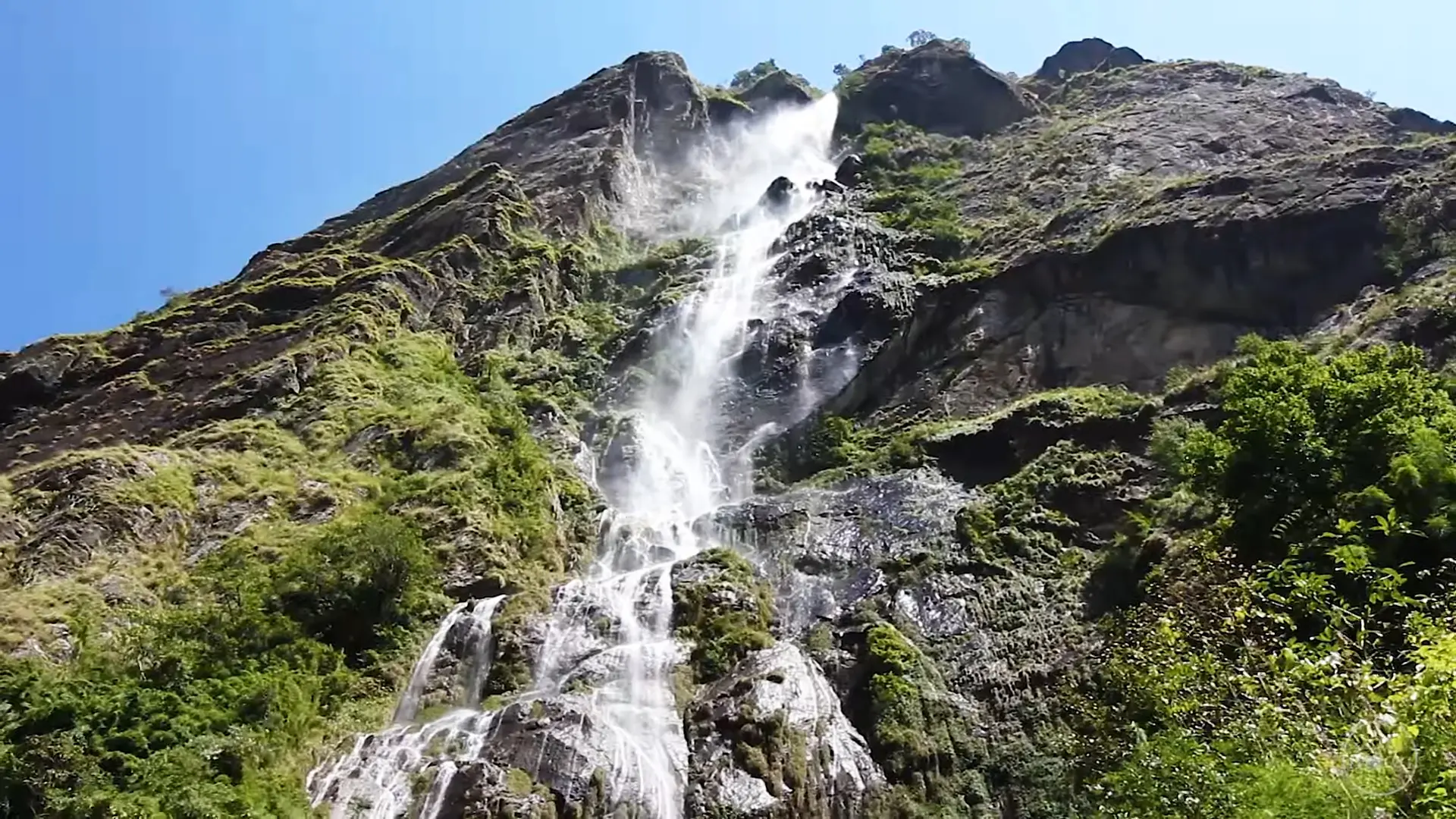
You will slowly descend towards the Masryangdi River, crossing dense forests and small streams. After some time, you will reach the large village of Dharapani, where the Masryangdi and Dudhkhola rivers meet. From Dharapani, you will drive to Besishahr, passing scenic hilly landscapes, waterfalls, and terraced areas.
Day 12: Drive Besishahar to Kathmandu - 5 to 6 hours.
On the last day of the trip, after completing the Manaslu circuit trek, you will drive from Besisahar to Kathmandu. The distance is about 173 km (107 mi) and takes 5-7 hours, depending on road conditions. This drive takes you through the picturesque mountains to the bustling capital city. Experience the gradual transition from the quiet countryside to the vibrant urban life of Kathmandu.
1. Where is the Manaslu Circuit Trek?
The Manaslu Circuit Trek is located in the Manaslu region of Nepal. It circles the eighth-highest mountain in the world, Mount Manaslu (8,163 m). The trek usually starts from Machakhola and descends to Bimthang village, crossing the challenging Larkyala pass. It takes you through remote villages and diverse landscape areas while offering stunning views of the mountains. The trek ends at Dharapani, where it joins the Annapurna circuit.
2. Which is the highest mountain in the Manaslu region?
Manaslu Mountain is the highest mountain in the Manaslu region. At 8,163 meters (26,781 ft), it is the eighth-highest mountain in the world. It is the main attraction of the Manaslu Circuit Trek and is famous for its challenging route and stunning scenery.
3. How long is the Manaslu Circuit Trek?
The ideal time for this trip is 12 days, although you can complete it in 10 or 11 days. But doing it in 10 or 11 days means rushing through it and possibly missing out on some experiences. The trek is challenging, so it is better to trek with enough time and a proper itinerary.
4. Can I trek the Manaslu circuit without a guide?
You must trek the Manaslu circuit with a guide. Trekkers must hire a licensed guide for the trek. It is regulated to ensure trekkers’ safety and preserve the local environment and culture. A minimum of two people are required for this trek. Since independent trekking is not allowed in this area, you must arrange a permit through a trekking agency. Additionally, trekkers need to obtain Manaslu Restricted Area Permit (RAP), Manaslu Conservation Area Project (MCAP) permits, and Annapurna Conservation Area Permit (ACAP) permits.
5. Do I need a permit for the Manaslu Circuit Trek?
Yes, you need some permits to trek. Manaslu Restricted Area Permit (RAP), Manaslu Conservation Area Project (MCAP) permit, and Annapurna Conservation Area Permit (ACAP) permits are required for trekking. But don’t worry; Odyssey Treks will assist you with all the necessary documents to get all these permits.
